
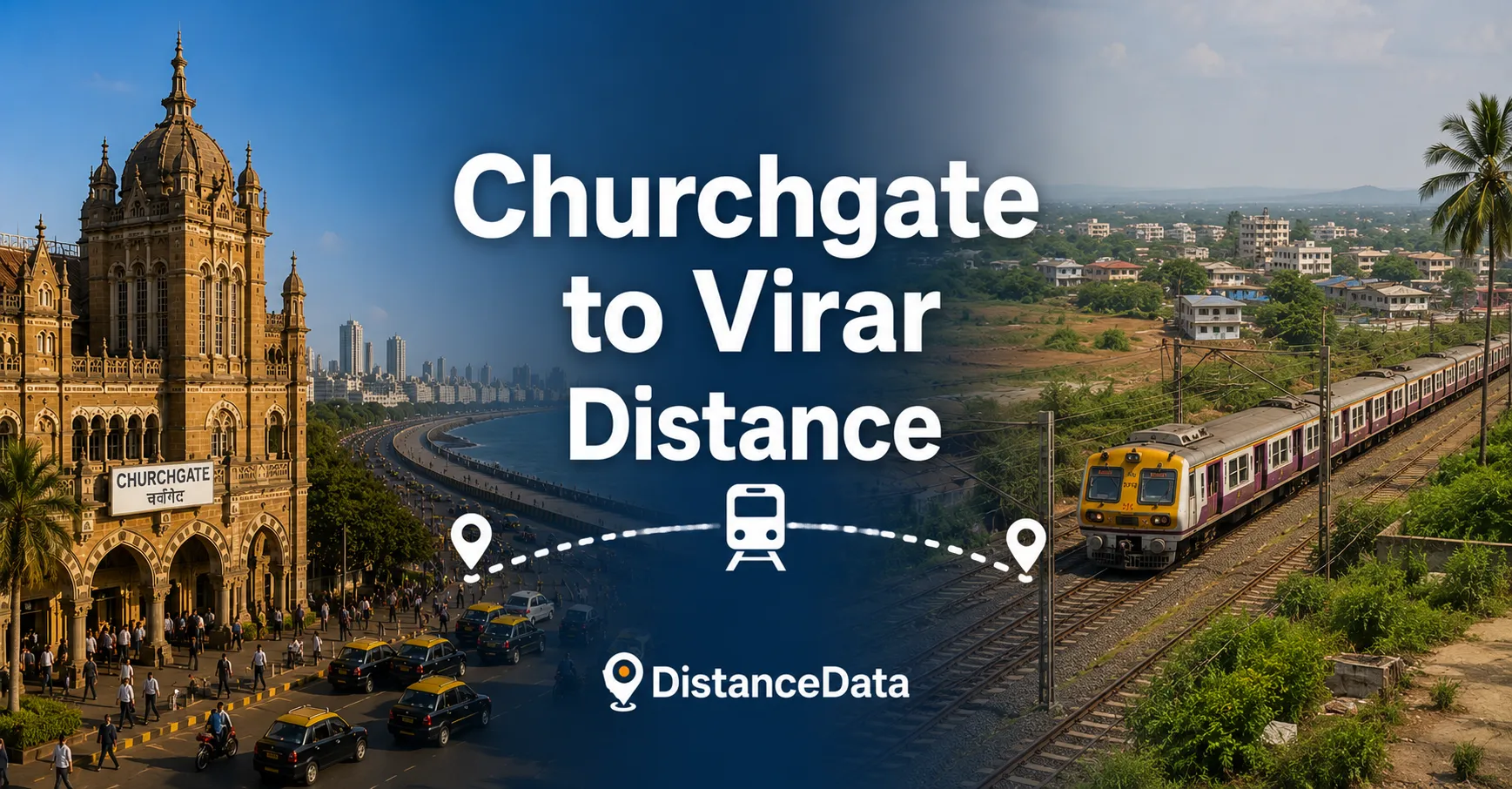
Churchgate to Virar Distance: Local Train, Road & Travel Time
The Churchgate to Virar route is the longest and most iconic commute on Mumbai’s Western Line. It covers the full length of the suburban rail corridor from the heart of South Mumbai to the northern edge of the Mumbai Metropolitan Region. This is
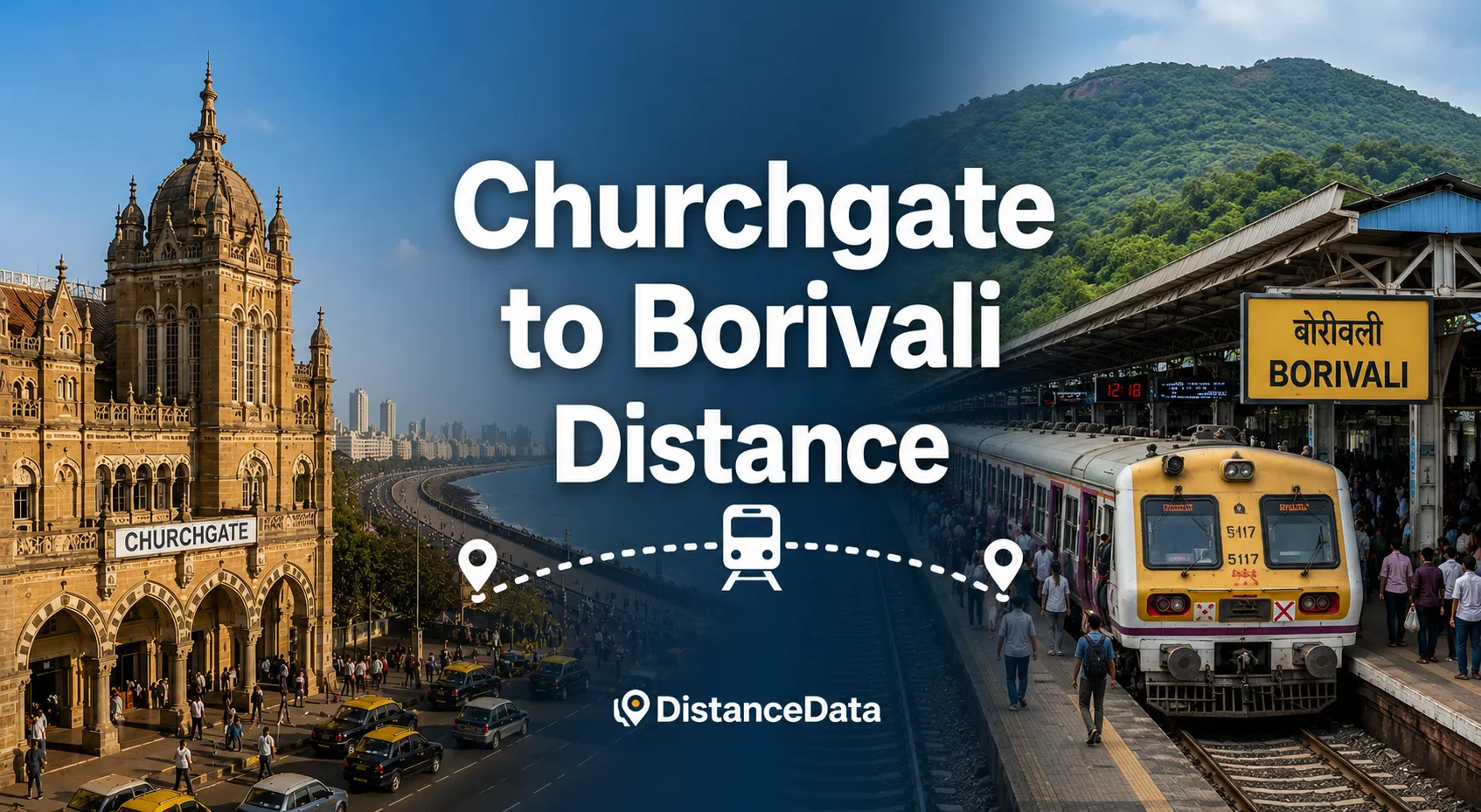
Churchgate to Borivali Distance: Local Train, Road & Travel Time
The Churchgate to Borivali route covers the entire southern and central stretch of Mumbai’s Western Line — from the financial capital’s southern tip all the way to one of the most important residential hubs of the northern suburbs. It is one of the
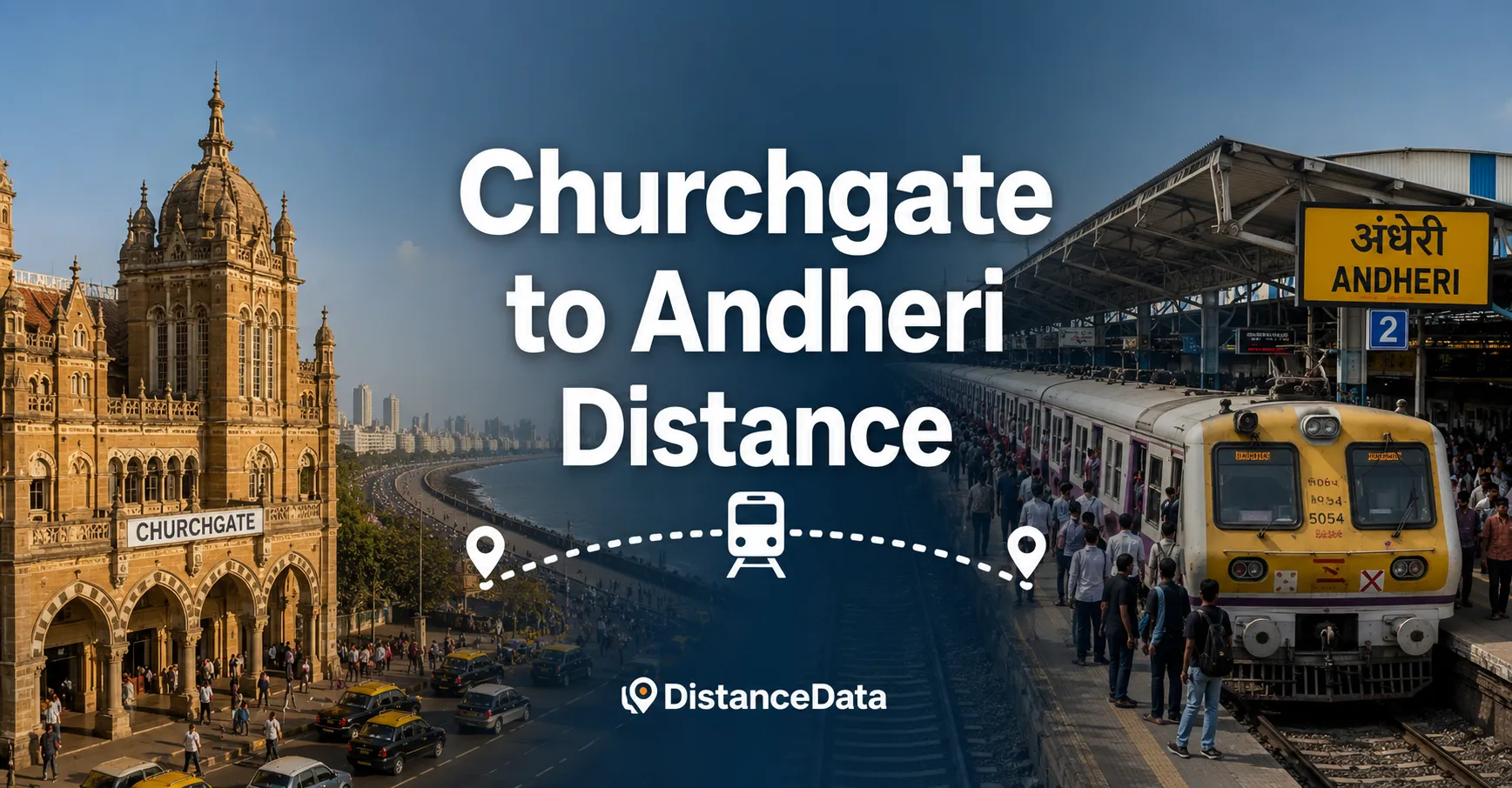
Churchgate to Andheri Distance: Local Train, Road & Travel Time
Churchgate and Andheri are two of the most important stations on Mumbai’s Western Line — one at the southern end of the city, the other at the commercial heart of the western suburbs. This is one of the most frequently traveled routes in
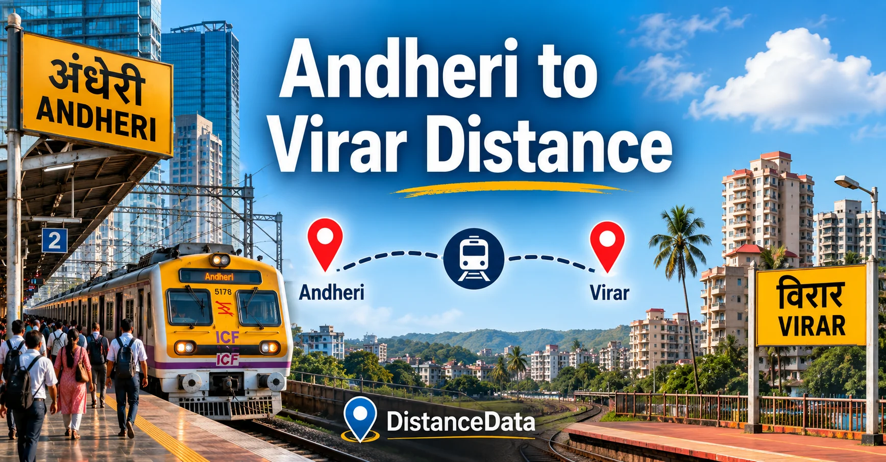
Andheri to Virar Distance: Local Train, Road and Complete Travel Guide
Andheri to Virar is one of the most traveled stretches on Mumbai’s Western Line. This corridor connects the commercial heart of the western suburbs to the fast-growing residential belt of Virar, and every day hundreds of thousands of commuters make this journey in
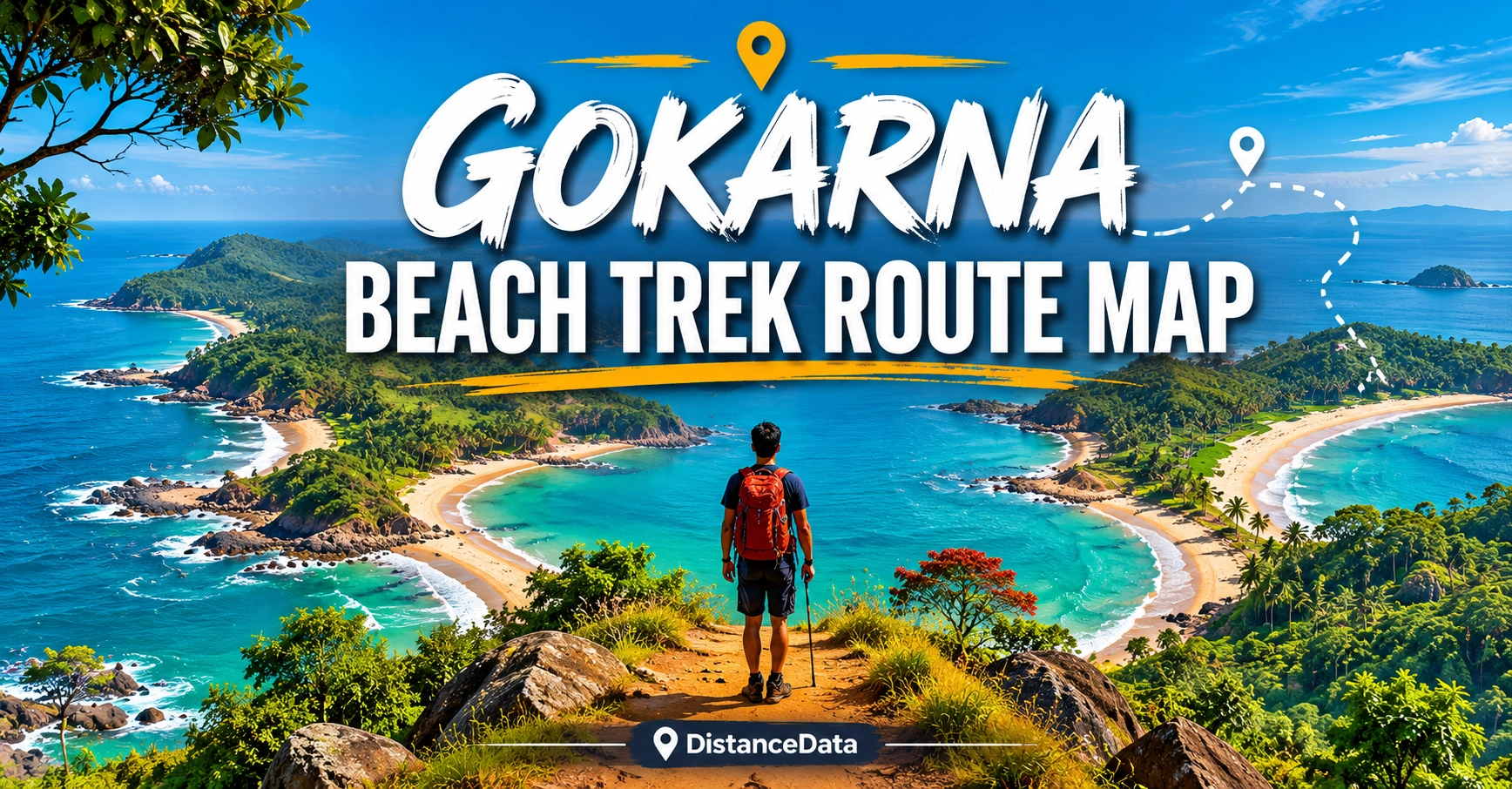
Gokarna Beach Trek Route Map: Distance & Itinerary
Most treks take you to a mountain summit. The Gokarna beach trek takes you somewhere completely different — along a chain of some of the most beautiful and secluded beaches on India’s west coast. No snow, no altitude sickness, no heavy backpack. Just
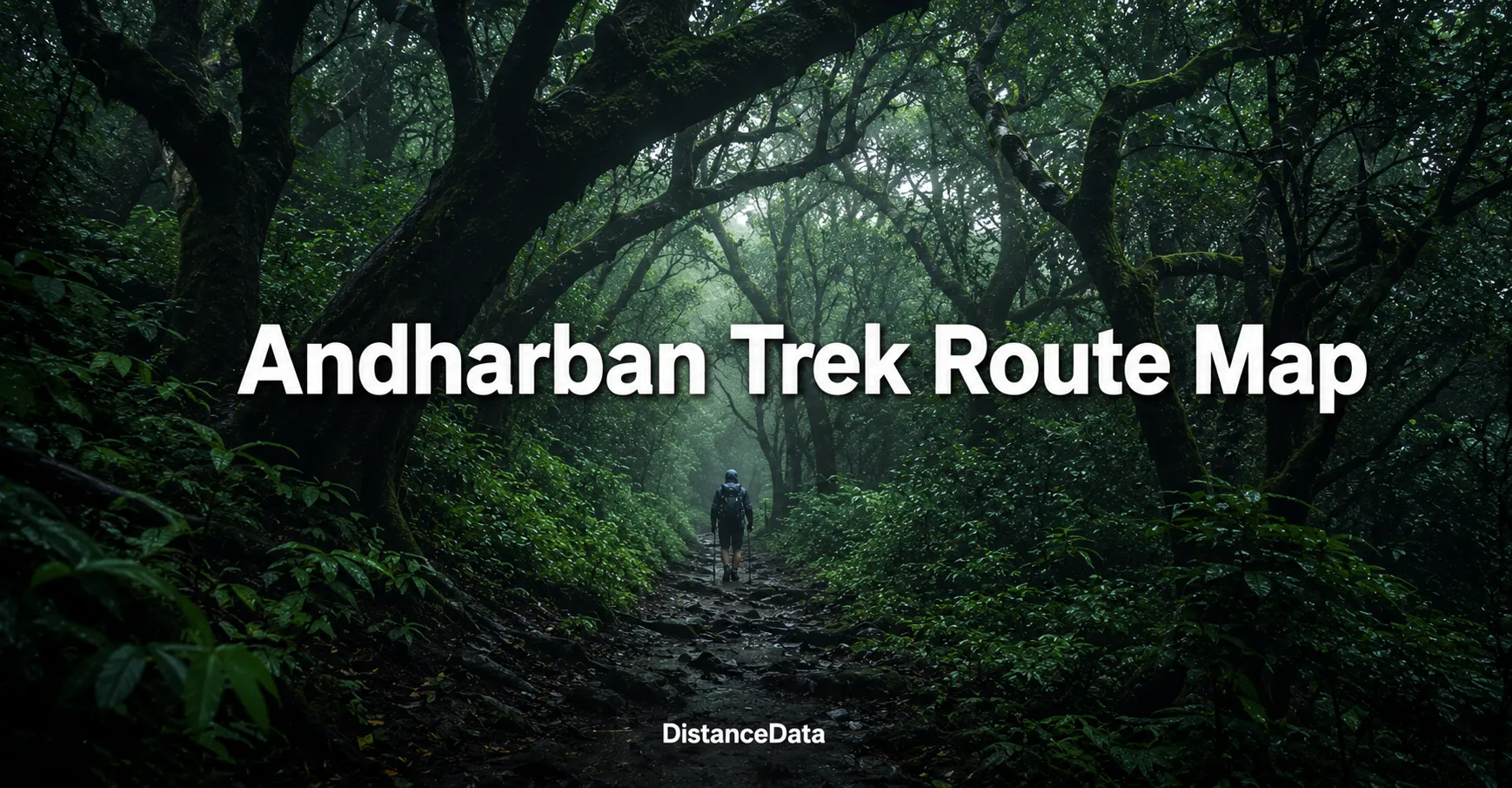
Andharban Trek Route Map: Distance & Itinerary
There are treks that take you up to a summit. And then there is the Andharban trek — a trek that takes you down, deep into one of the most magnificent forests in the Western Ghats. Andharban in Marathi means Dark Forest, and
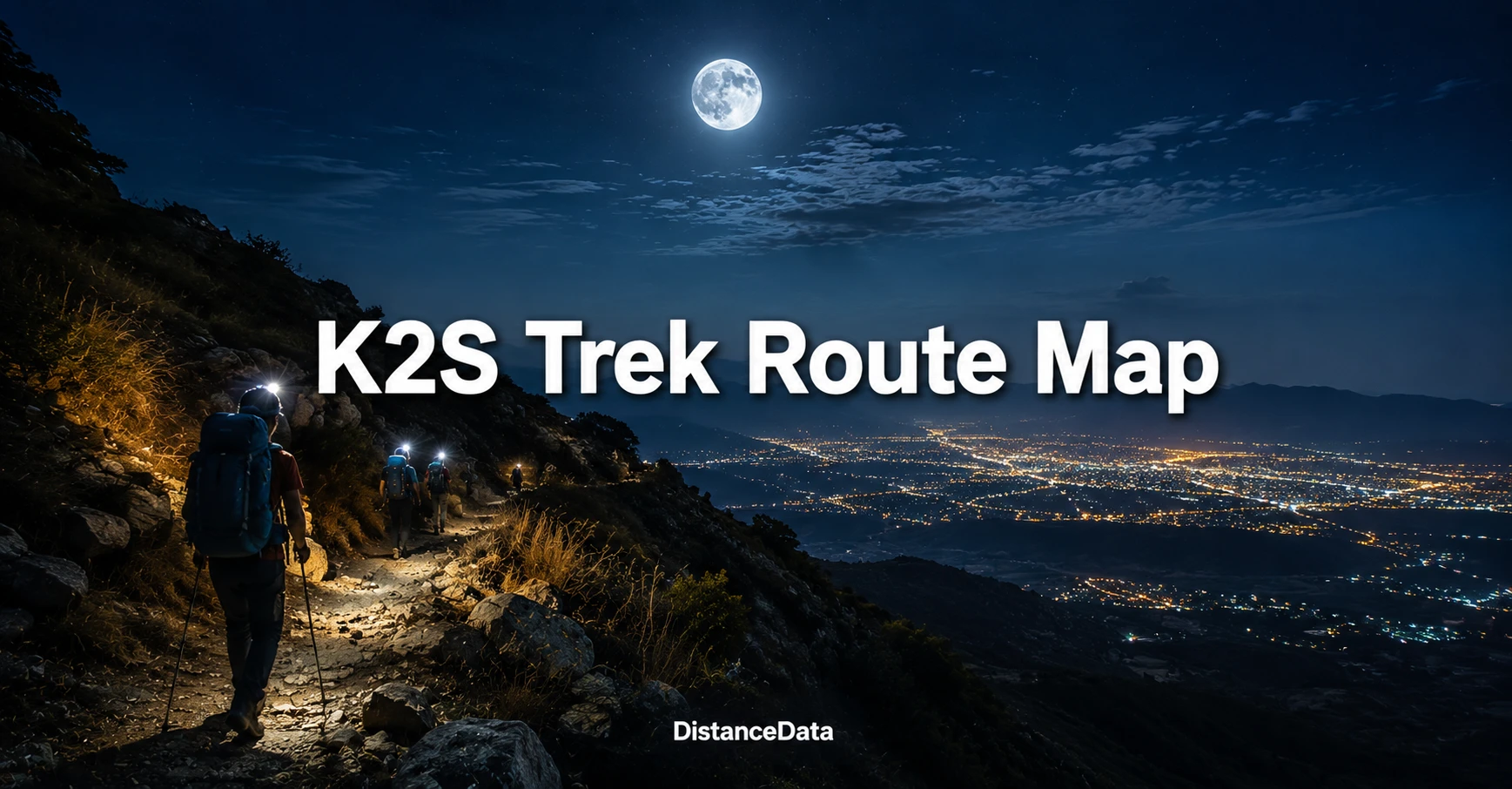
K2S Trek Route Map: Katraj to Sinhagad, Distance & Night Trek Itinerary
Some treks test your legs. The K2S trek tests everything — your legs, your lungs, your patience, and your will to keep moving through the night. Katraj to Sinhagad, K2S in short, is one of the most famous moonlight treks among Puneites. The
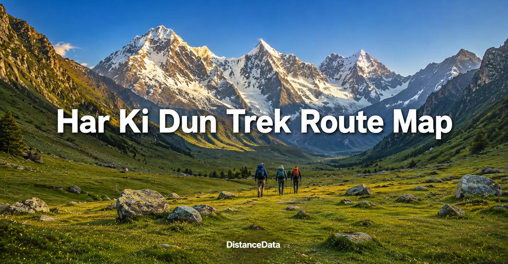
Hampta Pass Trek Route Map: Distance & Day-Wise Itinerary
If you are looking for a trek that shows you two completely different worlds in just five days — lush green Kullu Valley on one side and the stark barren moonscape of Lahaul-Spiti on the other — Hampta Pass is the one. This
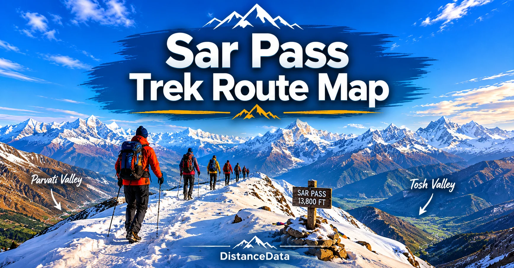
Sar Pass Trek Route Map, Distance & Itinerary | DistanceData
If you are looking for a trek that has everything — dense pine forests, high altitude meadows, snow covered passes, traditional Himachali villages, and a thrilling snow slide descent — the Sar Pass trek is the one. Located in the Parvati Valley of
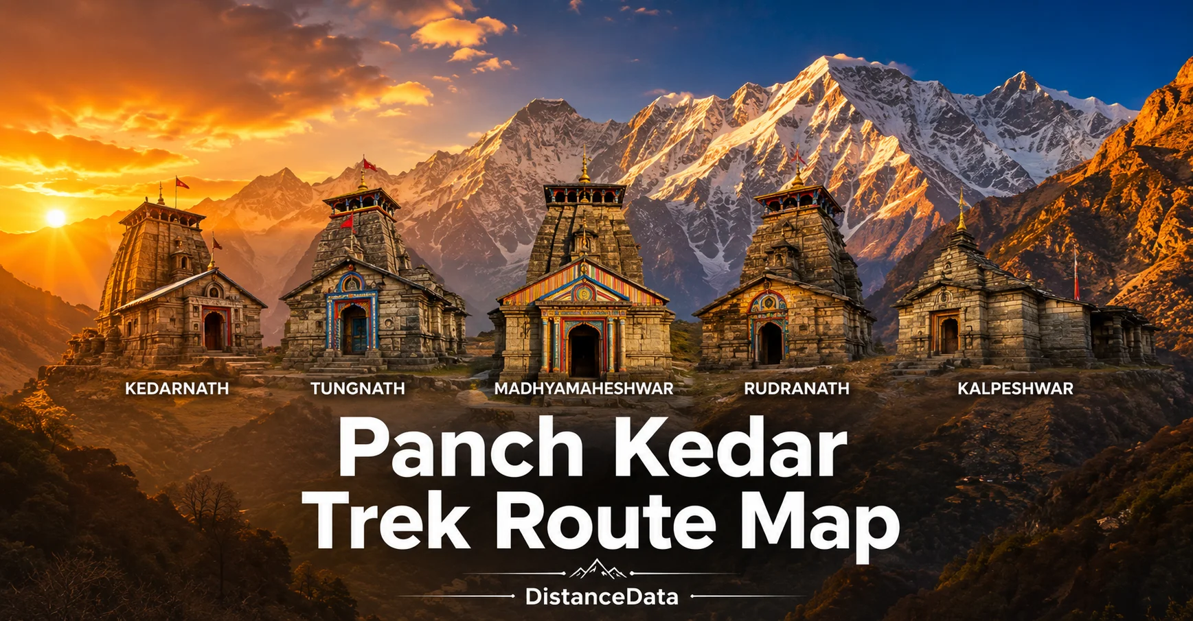
Panch Kedar Trek Route Map, Distance & Itinerary | DistanceData
The Panch Kedar Yatra is one of the most sacred and physically demanding pilgrimages in the Garhwal Himalayas. It connects five ancient temples of Lord Shiva — Kedarnath, Tungnath, Rudranath, Madhyamaheshwar, and Kalpeshwar — all spread across different valleys and ridges of Uttarakhand.